Cabo San Pablo Viewpoint Trail
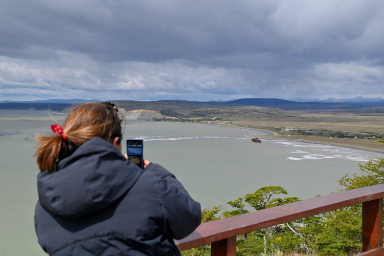
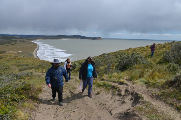
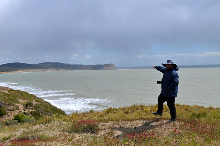
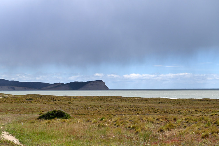
The cliffs of Cape San Pablo, in the northern area of Tierra del Fuego, invite visitors to go along this path, amidst the wind and the sea waves.
report_problem
IMPORTANTE: Es necesario planificar su salida, extremando las precauciones en las temporadas de otoño e invierno, debido a que disminuyen las horas de luz natural, se registran temperaturas bajo cero y el terreno puede encontrarse con presencia de barro, hielo y/o nieve. Es fundamental contar con indumentaria y calzado adecuado. En caso de emergencia, llamar al 911.
Distant 81 kms. from the city of Tolhuin and 123 kms. from the city of Río Grande, the access to this trail is through National Route 3. Driving up to the intersection of the complementary route "A", from there you must travel about 40 kilometers along a winding gravel road that leads to the coast, where the viewpoint is located.
During the journey you can see the estancias fueguinas, which offer a rural landscape of sheep and cattle, and muleteers riding along with their dogs’ caretakers. The nature here displays plains, rivers and sectors of ñire and lenga forests, with shapes and colors typical of the transition zone between the mountain range and the Patagonian desert, called ecotone. In this area live guanacos, red foxes and condors.
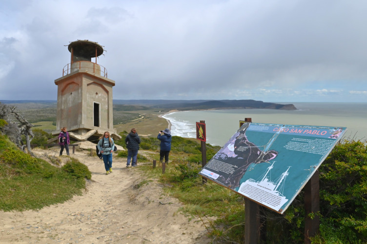
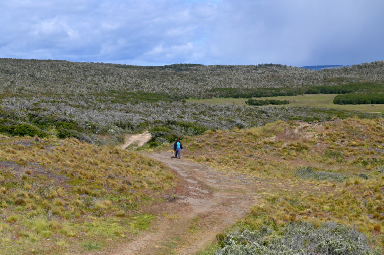
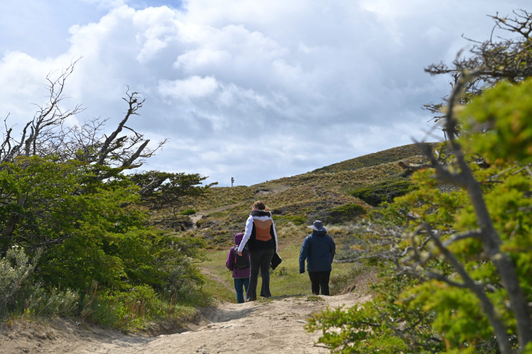
The interpretative trail starts at the parking area. From there you can access a viewpoint with 360º panoramic views, where you can see the San Pablo Bay, large cliffs and the shipwreck of the Desdemona ship, which occurred in 1985.
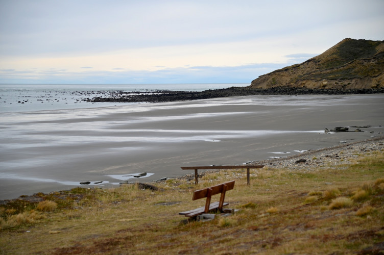
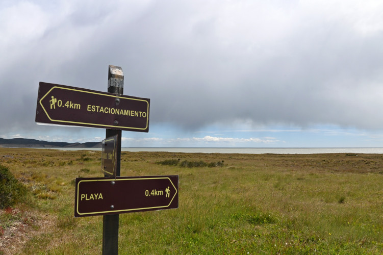
Halfway there is a fork that connects with a path that leads to the beach. This has a distance of 1.5 kilometers and lasts approximately 1-hour round trip.
The trail of the Mirador Cabo San Pablo has informative signage, with information about the circuit to travel, natural features of the area, and safety recommendations. It also has an interpretive sign at the end, which provides an explanation to the visitor about the highlights of the tour, the natural landscape, the Desdemona boat and the lighthouse.

